


Geography at Holy Trinity is much more than just maps! Take a look at the programme of study the children will complete in each year group. Please find documents at the bottom of the page outlining the current curriculum for geography. Geography is a rich and exciting subject which does not only study maps and symbols, but also patterns of land use, temperature, weather, volcanoes, earthquakes and much more.
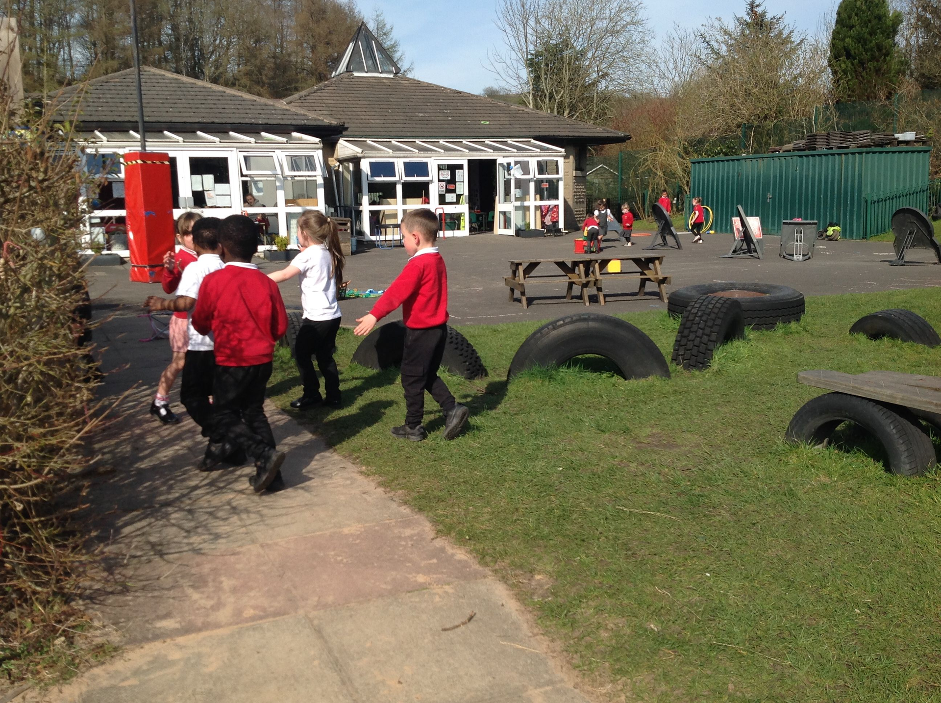
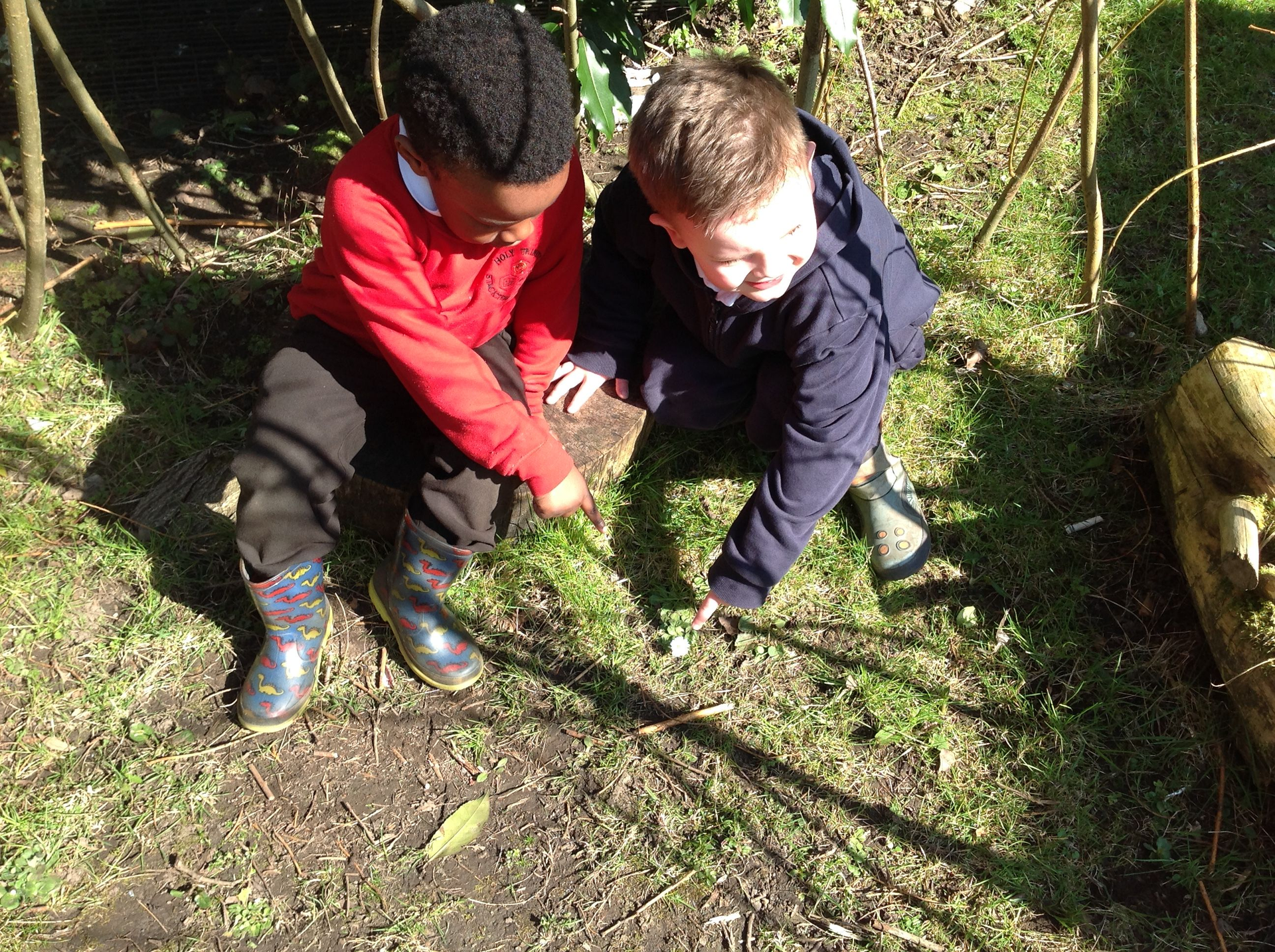
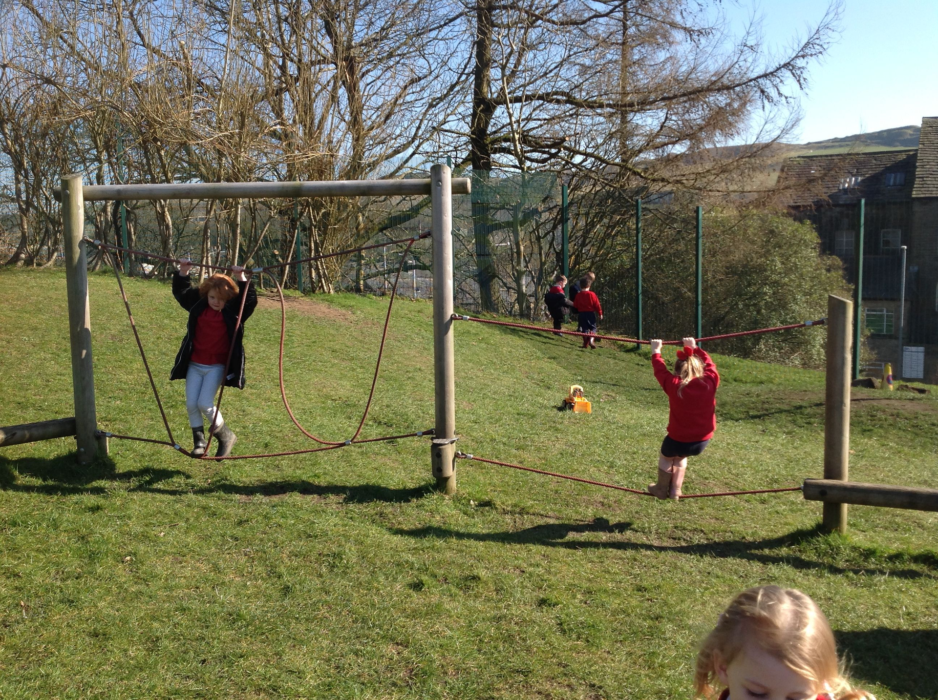
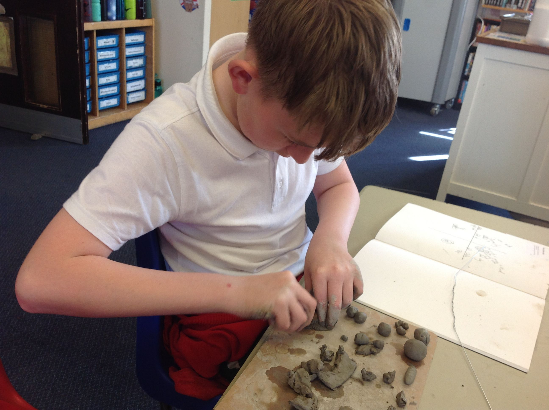
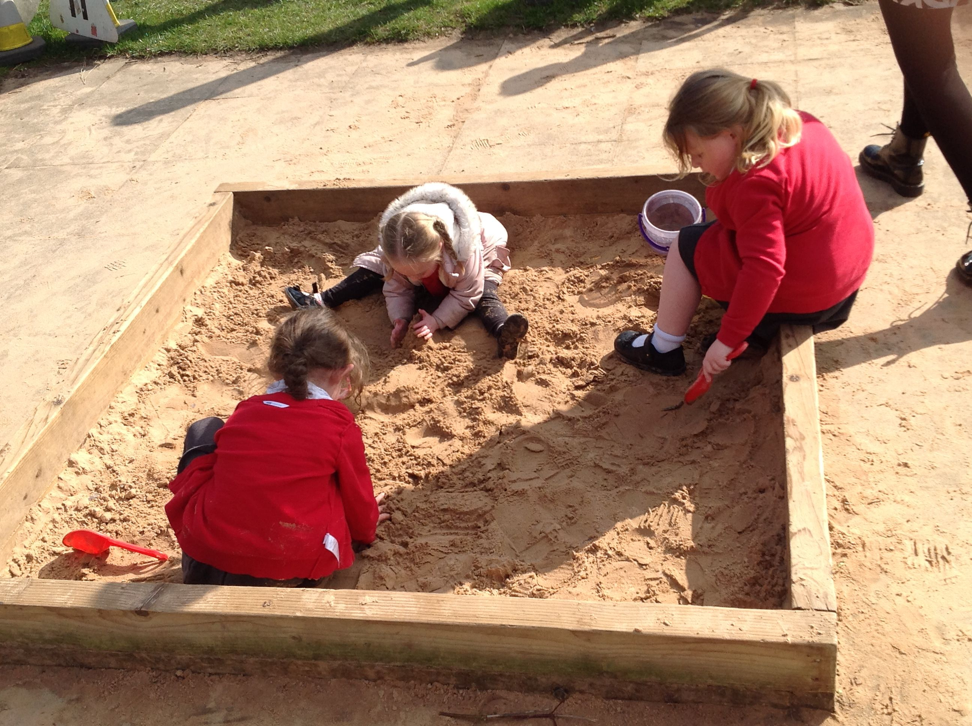
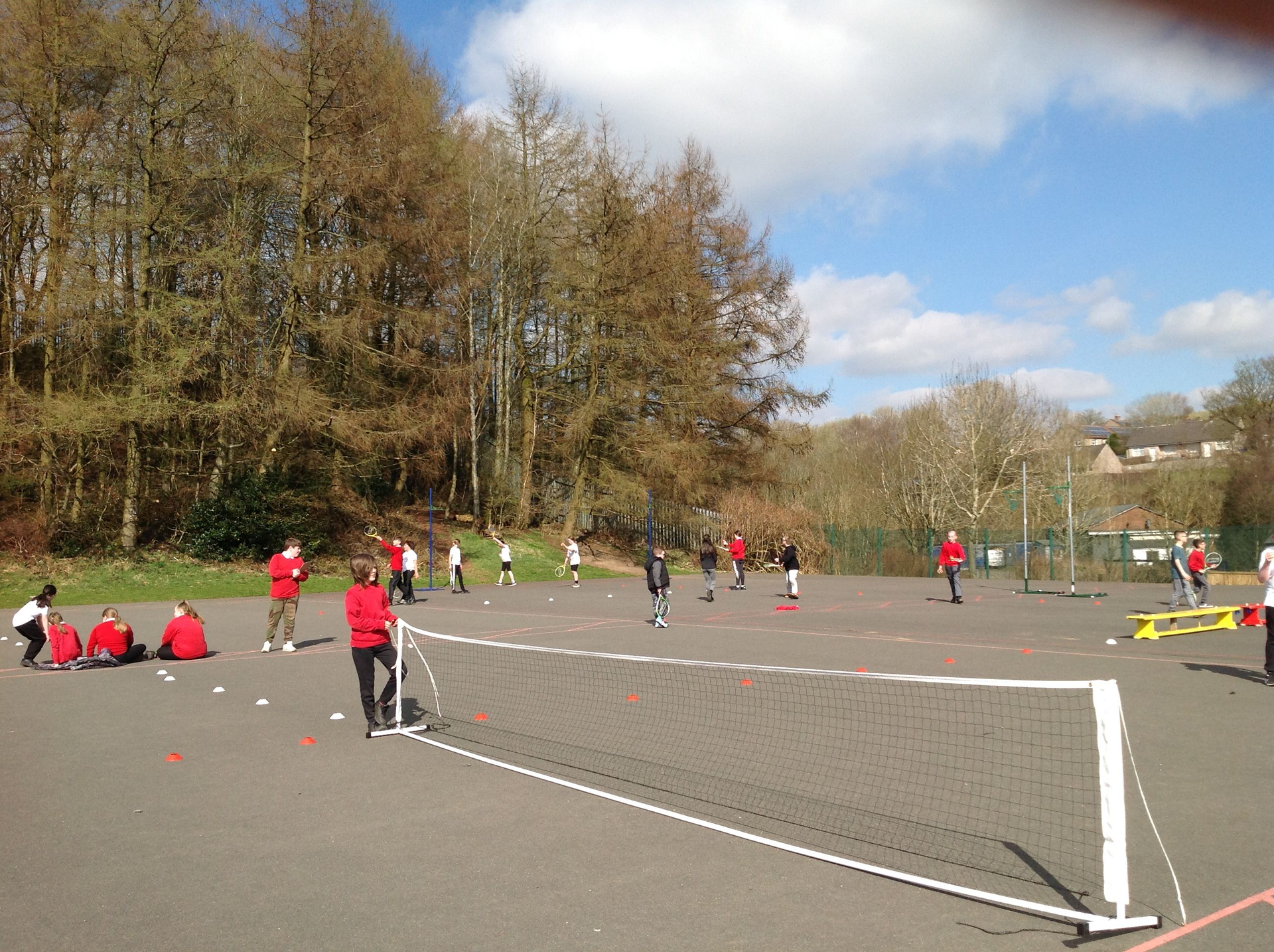
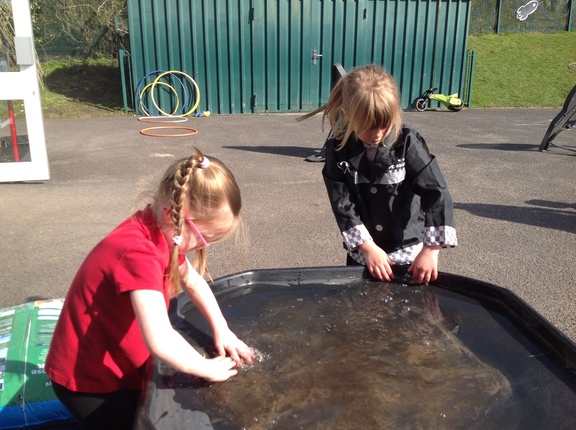
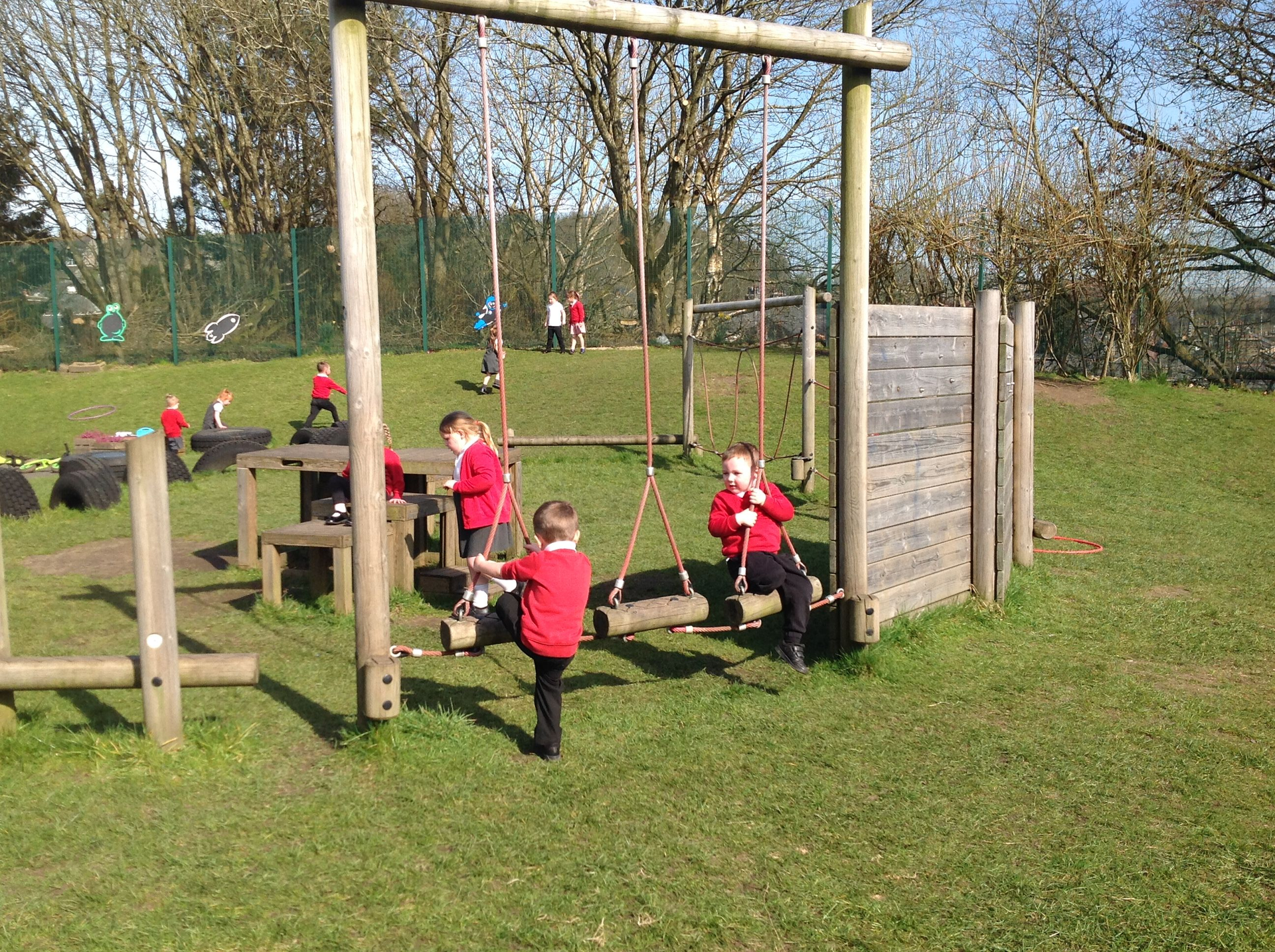
Children also have regular opportunities to use their Geography skills outdoors through planned fieldwork. Each year group has specifically planned opportunities to complete skills based fieldwork, whether that be on site or out around Stacksteads and the locality.
We use specifically designed unit plans that use our local area as a focus for learning. Children make comparisons between their own loacality, places in the UK and other countries. They make cultural connections through understanding how the geography of a place shapes the culture, tourism and economy. Children are exposed to different vocabulary throughout the units, allowing them to think like Geographers.
Have you explored Digimaps for Schools? It is a site that allows you to explore OS maps of the UK and historic OS maps. Ask your teacher for our schools Digimaps log in and try it out at home! Click on the title below...


Please see below key learning objectives in the national curriculum. We have interpreted these to create our own unit plans relevant to our children.


